Friday, June 2
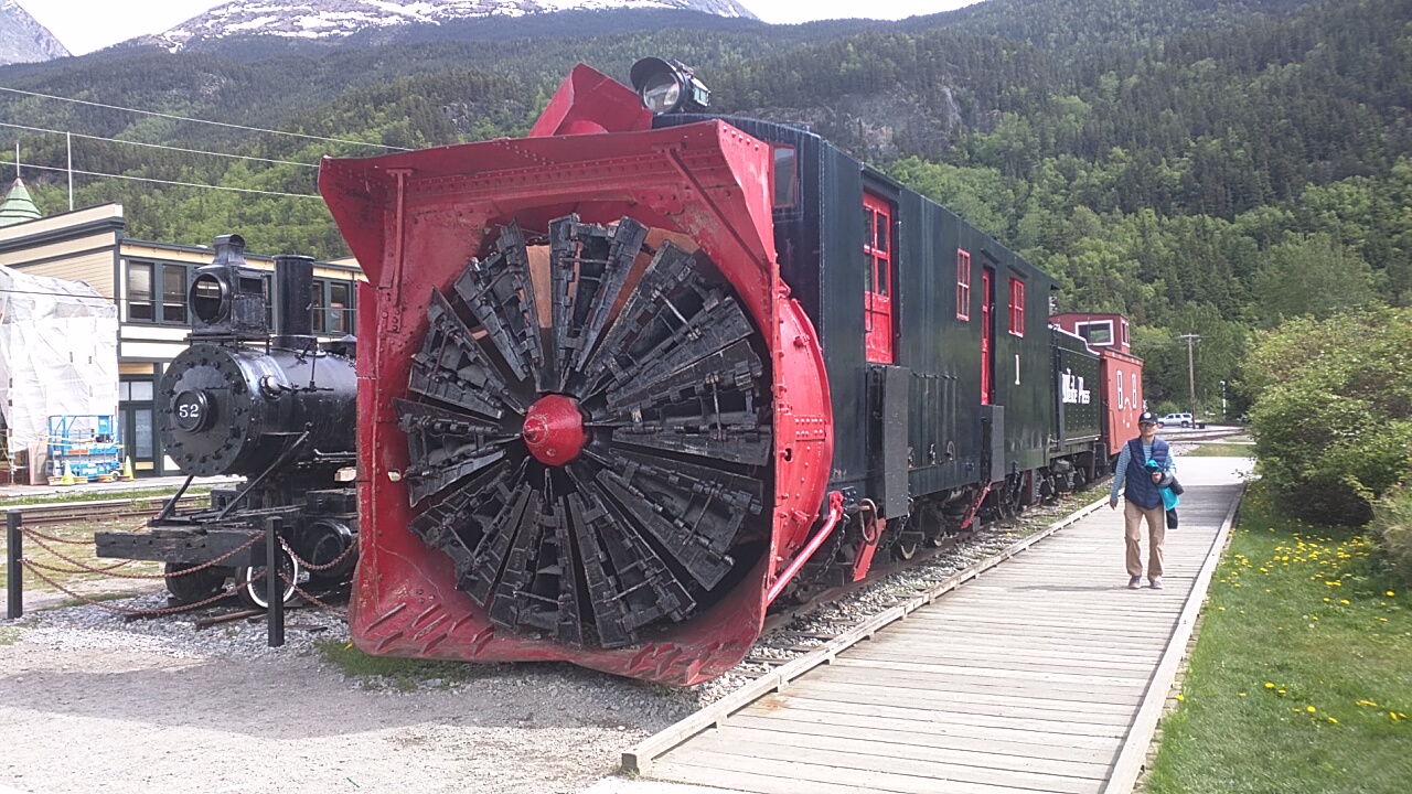
Rotary Plow on train
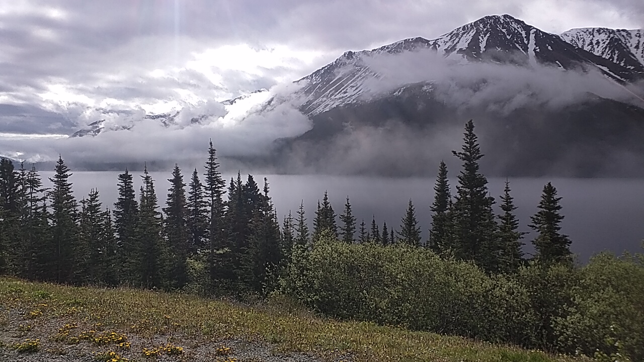
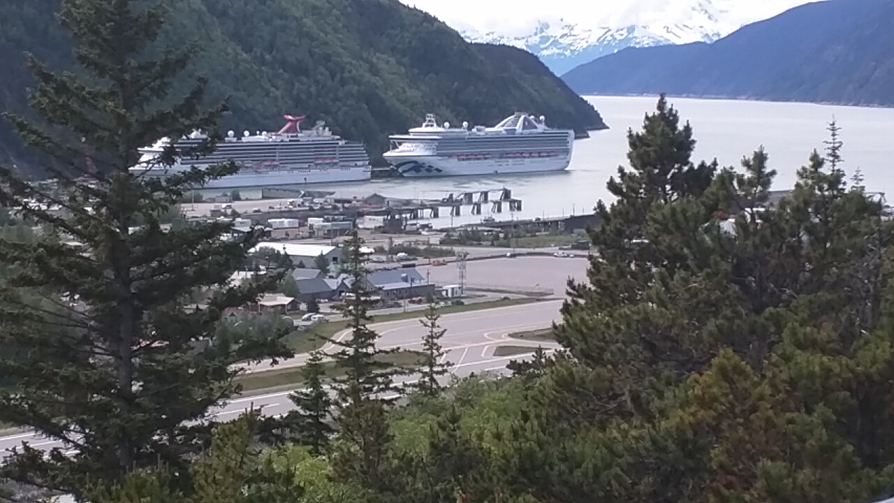
I waited until about 10am before I road into Skagway. The temperature was still in the 50’s, but I drove slow enough that the wind didn’t penetrate my jacket. I stopped a couple of times to check out some sights I missed on the way in. One turnout on the Dyea road gives you a good view of the bay and the cruise ships that are docked there. I could see two ships parked in the bay – one was a Carnival cruise ship and I couldn’t make out the name of the other.
I thought Skagway would be mobbed with people but it was not too bad. I walked through the Park Service museum and watched a movie on the early Gold Rush history. I went through a few shops that had souvenirs and trinkets for sale, but I’m sorry to say I didn’t help out the Skagway economy today. Although, I saw many tourists from the ships spending lots of money.
I don’t get it???
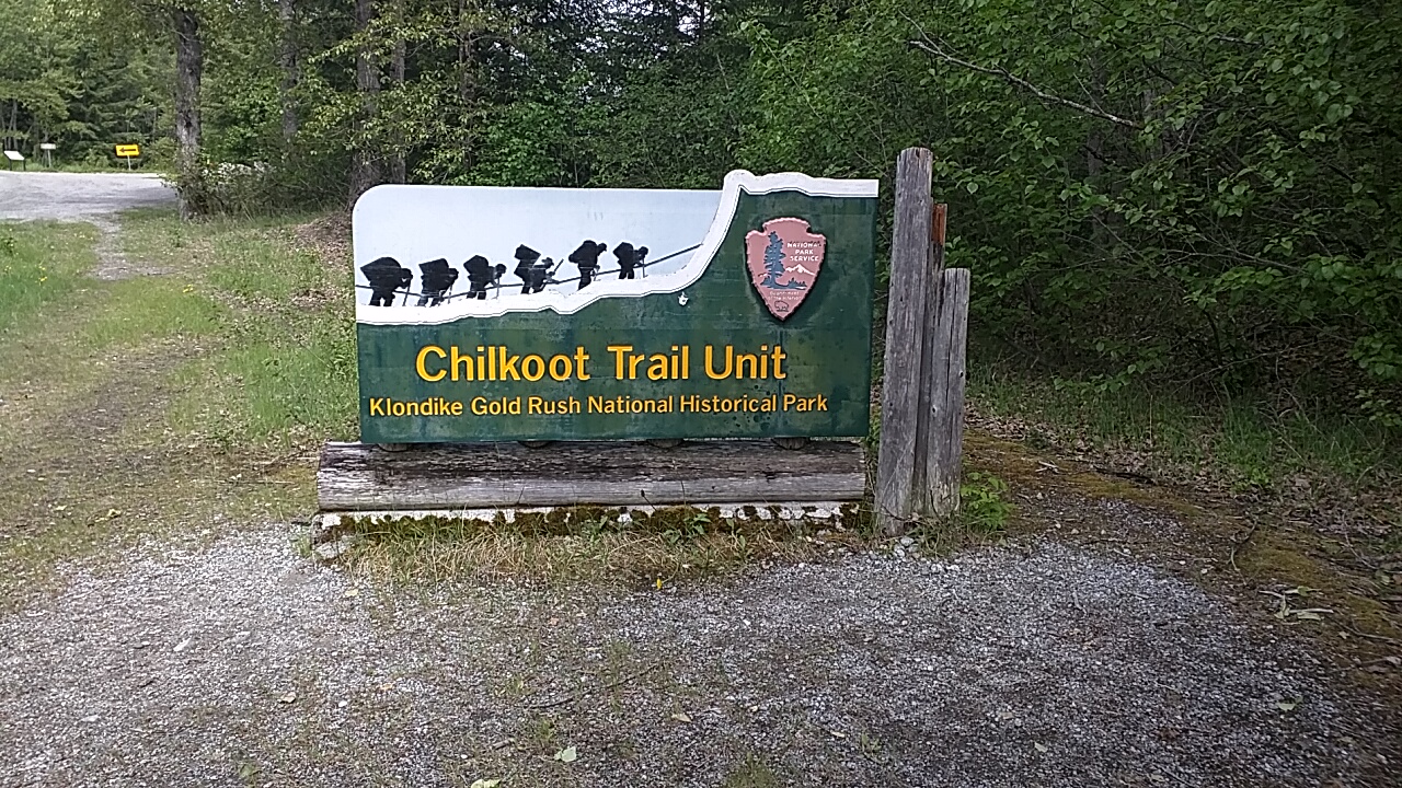
I’m still debating whether I want to ride the train up over White Pass. It is quite expensive but people that have done it say it is beautiful. I will pass the same route of the train on my drive back to Whitehorse and get to enjoy the scenery again. After a few hours in town I road back to camp and hiked about a mile on the Chilkoot Trail.
Saturday, June 3
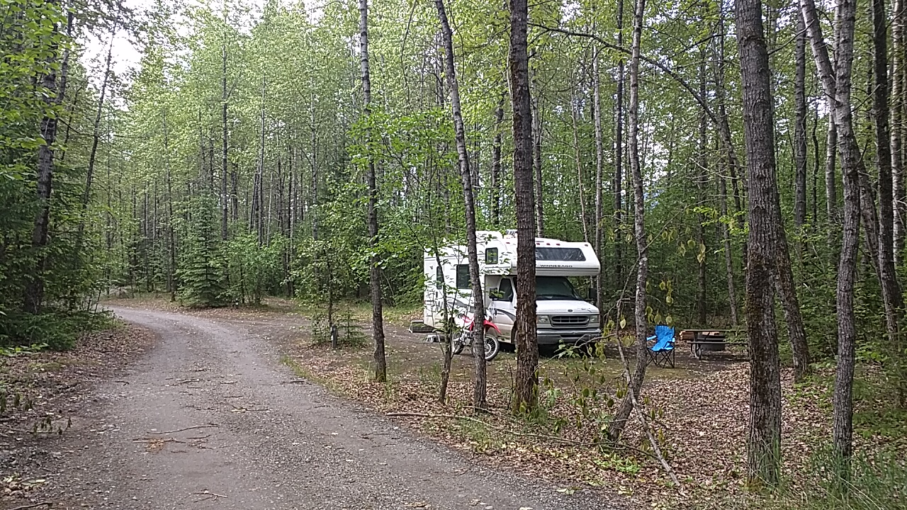
Today was a lazy day. It rained again in the night and the morning stayed cold and cloudy. In the afternoon the sun broke through and I went for a ride on Honda. I found a new campground on the other side of the inlet, not far from the ghost town and ruins of Dyea, and it is free. I have been wondering why no one has been camping near me and now I know why. If I decide to stay a few more days I will move over on Monday. The nice thing is that I got 3 bars of 3G cell signal over there.
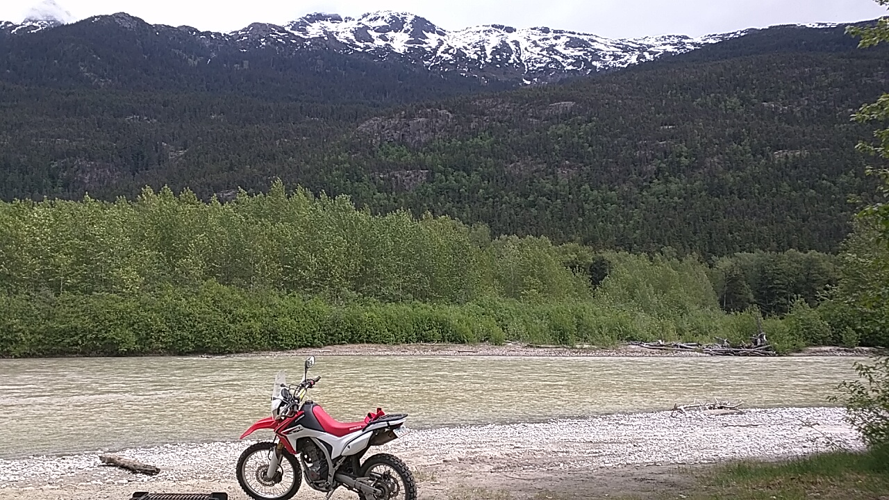
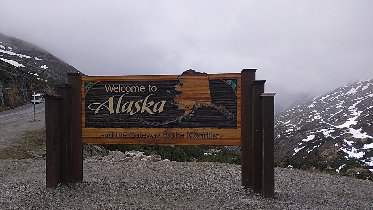
Honda in Alaska