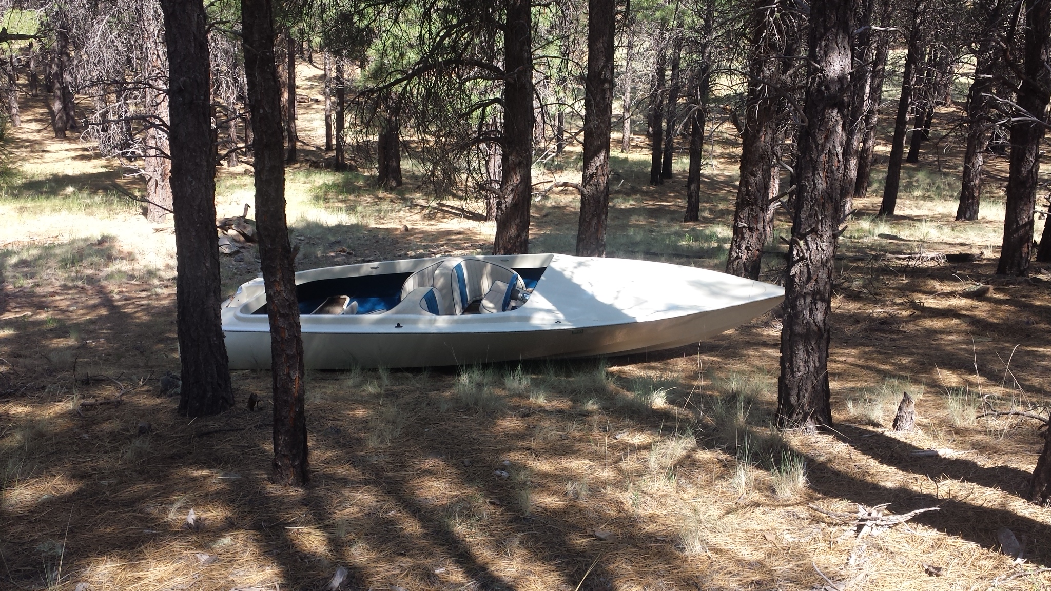
Mice!
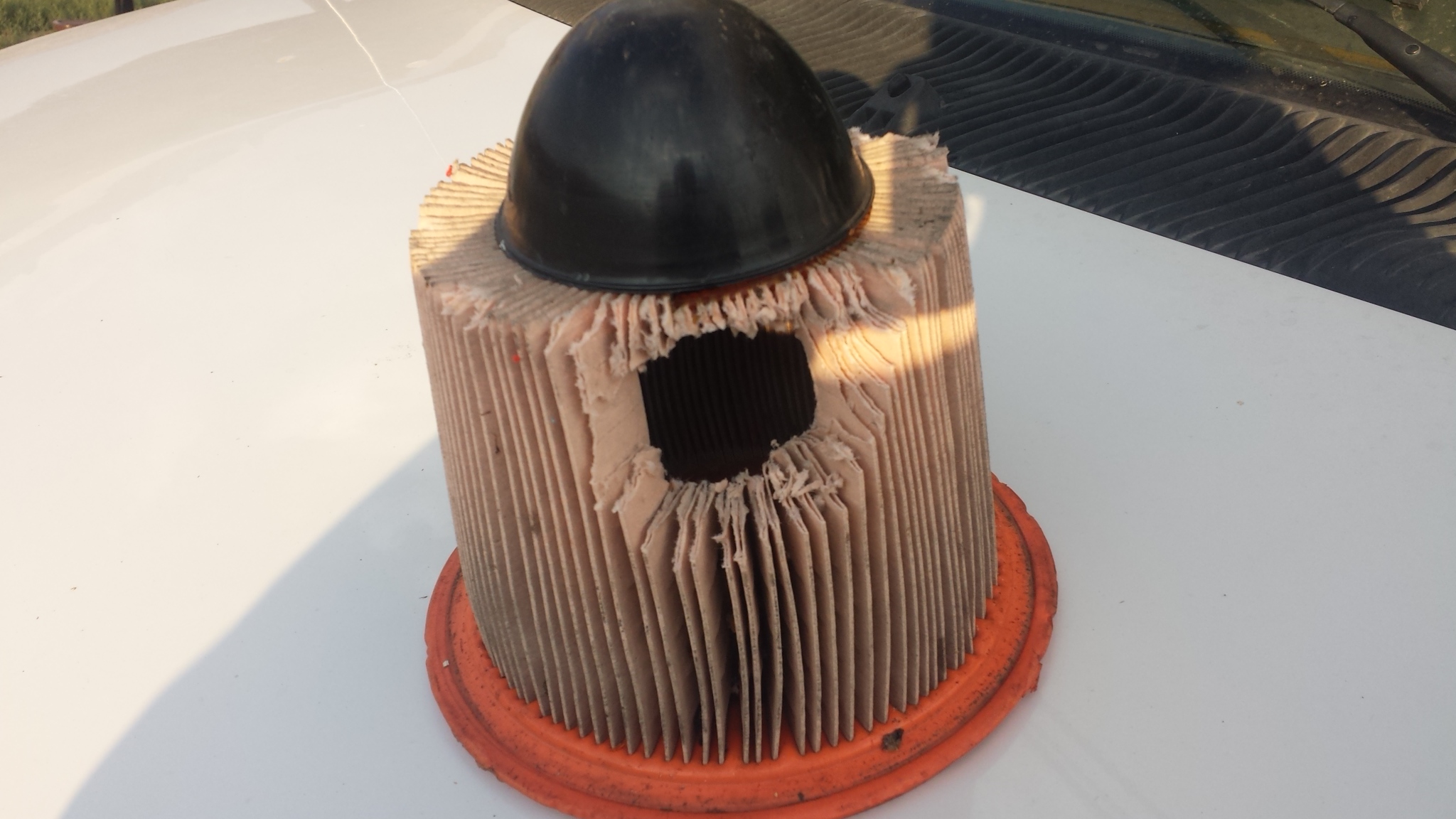
Sometimes you get a feeling you should check something. I pulled apart Minnie’s air breather and took out the air filter to find it had been chewed by a rodent. I’m not sure how long Minnie’s engine has been suckling dust through the hole, but it gave me a new perspective on keeping an eye on the engine for invaders. I usually like to sit outside and watch the woodland creatures playing and scurrying around, but when I saw a small chipmunk approaching my van the other day, I picked up a stone and threw it at him.
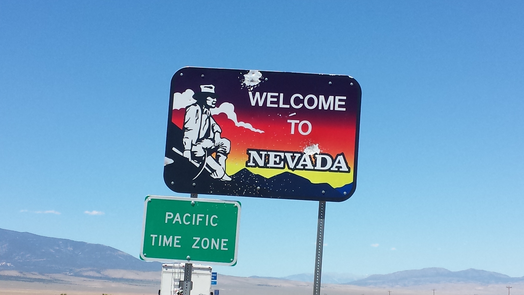
I left Nevada on Monday and traveled east on US 50. There was hardly any traffic except for a small section where Rt. 50 joined Interstate 15 for a few miles. I like driving the back roads where you can get away from all the traffic and 80 mph speed limits, but the roads are narrower and oncoming vehicles make me flinch with the possibility of distracted drivers.
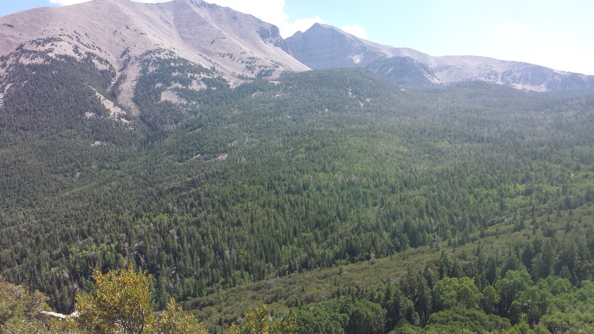
I spent the night in the Fishlake National Forest a few miles east of Salina, UT. The next day I explored up a road called Gooseberry Canyon and found many camping spots at cooler high elevation. It made me disgusted to see many trailers parked in nice campsites holding spots for weekend campers. You could tell some of them had been there for a long time, like their own private summer home in the mountains. I don’t know why the forest service allows this.
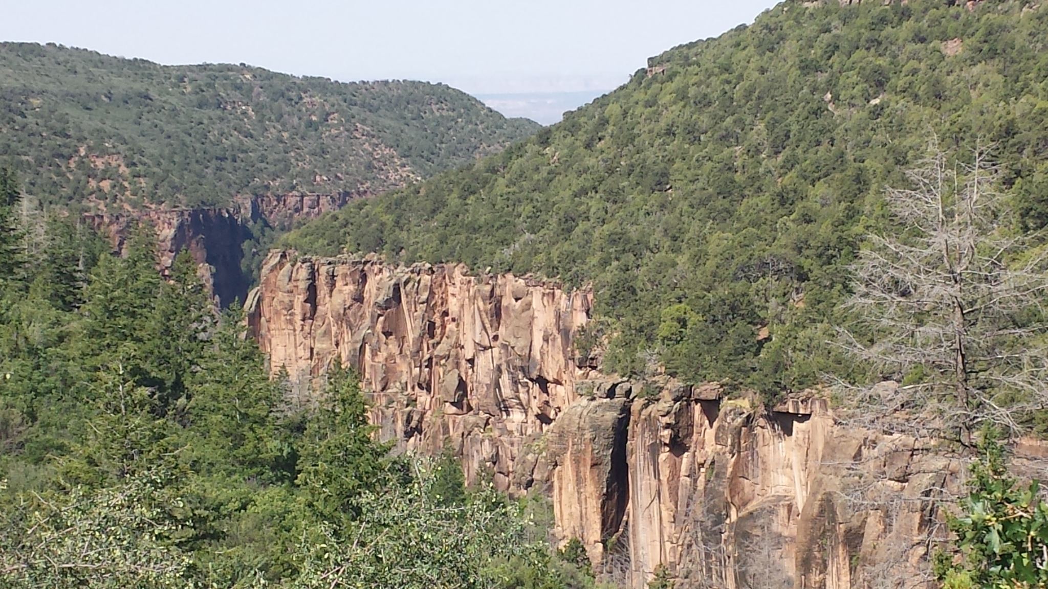
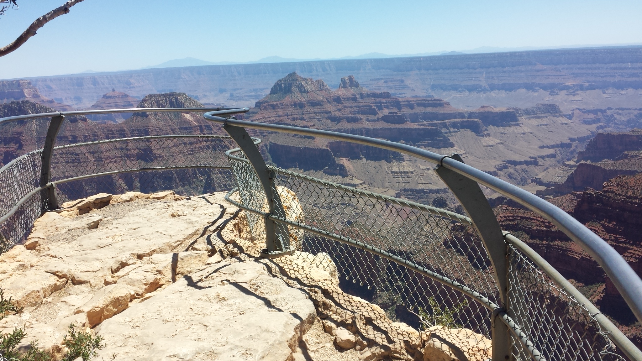
Rock climbers paradise.
The next day I drove I 70 to just outside Moab, UT and turned up Rt. 128. The road follows the Upper Colorado River through a beautiful scenic gorge with many campgrounds scattered along the river. As I drove the narrow, winding road, hundreds of people in bright yellow rubber rafts floated by on the river. It must be a thriving business. Most of the traffic was vans pulling trailers filled with rubber boats or returning empty to retrieve them.
I was not looking for a pay campsite that had triple digit temperatures like these along the river so I turned up a road into the Manti-la Sal National Forest. On my map I noticed a road that made a big circle up into the forest and I was hoping to find a good campsite.
Out the windshield I could see ahead of me a majestic mountain range that looked like there might be all my qualifications for a good place to stay. It would be high enough to be cool during the day, I might get a cell signal being this close to Moab, there should be roads to explore on Honda, and best of all, be free.
The road up into the mountains was steep and twisty. Honda would have liked it but Minnie did not. I was relieved after 10 miles and several thousands of feet in elevation gain to come upon a campground called Mason Draw. The campground was small, made mostly for people with tents, but it was priced right – $2.50 with senior pass – so I resolved to stay a couple nights. The only spot that was open to the sky for my dish and solar had a sloped driveway that made getting Minnie level impossible. I put down all the boards I had to ramp up the front end but still couldn’t get anywhere near level. I felt like I was living in the crooked little house on the crooked little hill.
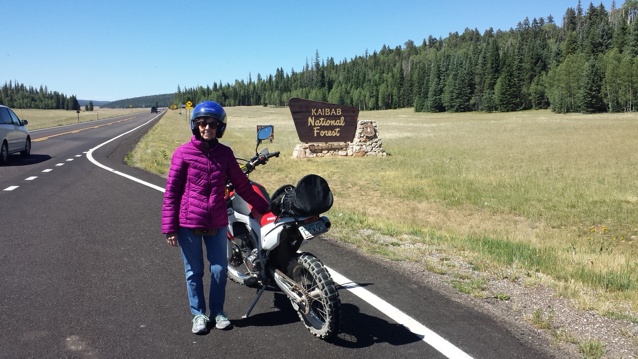
The next morning I took Honda on an exploration. The road up into the forest loops over the top and continues down through a beautiful gorge where it eventually comes out on the highway a ways below Moab. The road is aptly named the Loop Road. Where the road curves through the gorge, I saw a sign pointing to an area where it is famous for rock climbing. I followed a gravel road that branched off and climbed high up the mountain to another campground, but the road was too rough to think of taking Minnie up there. Eventually I found a secluded spot only a half mile from the Loop Road that had good cell signal, level parking, and was free. Even though I had paid for another day in the campground, I drove back and moved here for the weekend.