I knew it was time to leave Caddis Flats Campground when two unfortunate things happened on Monday and Tuesday. The first thing that happened didn’t really affect me much but it was exciting anyway. I had been out doing a little hiking and panning down the river, and on my return to my camper, just as I rounded the last curve, I was met with all sorts of emergency vehicles with flashing lights parked along the road by the campground entrance. As I got closer I saw that a vehicle had lost control and rolled down the embankment where it ended up on its top. I told the Sheriff I had a camper in the campground and they eventually moved the firetruck so I could get in. The good thing was that the guy involved in the accident was not hurt.
Later that night I woke to go to the bathroom, turned on the light, and came face to face with a mouse on my counter. He didn’t seem startled at all and didn’t even run until I started chasing him with a shoe. I checked my drawer where I keep my snacks and found several things chewed. I slept very little the rest of the night, expecting the little intruder to come back and continue his ransack of my kitchen. Early the next morning I packed up Minnie and headed north.
I spent the night at a Walmart in Montrose, Colorado where I purchased two mousetraps and more snacks. Then I moved all food to cupboards that were sealed. So far my traps remain baited and ready for the next invasion. It is amazing how fast the little varmints can find a way in. All I lost was a few snacks, but I’ve heard horror stories of mice getting in the engine and chewing the wiring. I usually leave the hood open when I park now. It is supposed to discourage mice from hiding and doing mischief under there.

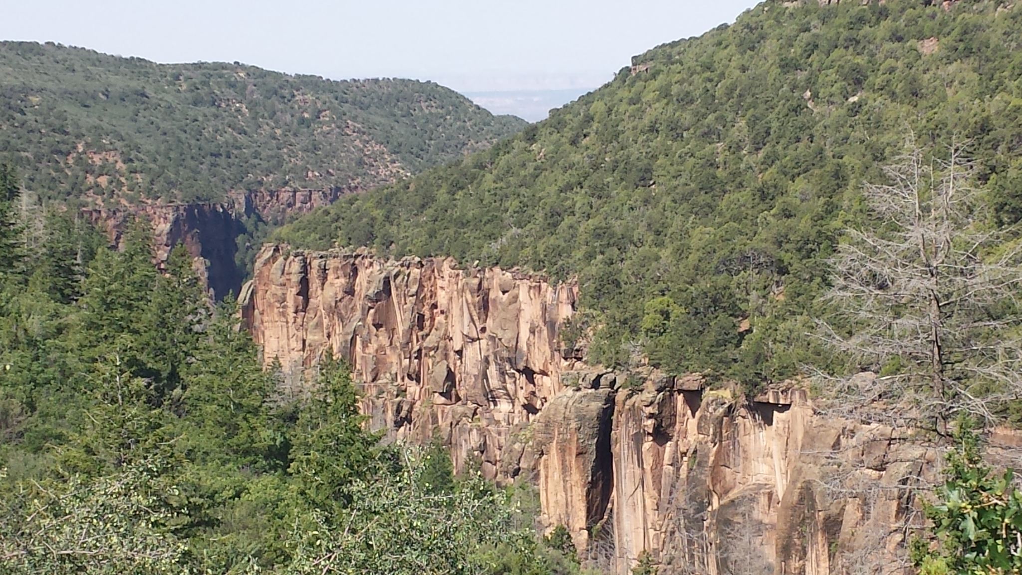
Black Canyon cut by the Gunnison River
Black Canyon of the Gunnison is one of those places you can’t capture with a picture. Like the Grand Canyon you have to see it in person. The black volcanic rock gives the appearance of Gothic walls descending into the canyon.
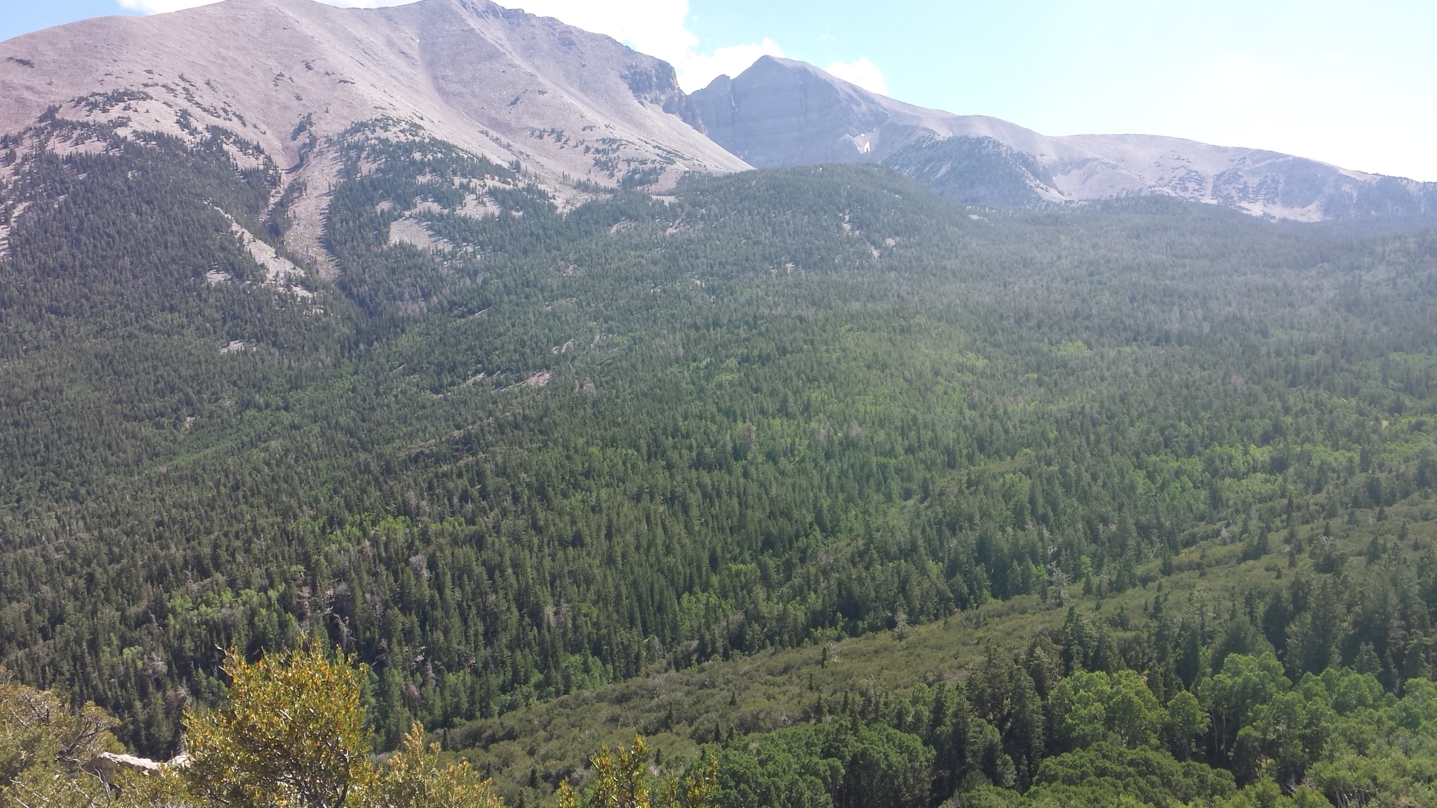
I was interested in finding a campsite for the night so I drove a road that parallels the canyon to the north and skirts the southern boundary of Gunnison National Forest. I finally found a forest road that took me to a pretty camp at the base of an Aspen forest. I set up camp with the idea of exploring further up the road to see if there was any cell service.
The next day I rode about 10 miles up into the mountains. I didn’t find any more camps until almost at the top, and even then no cell signal. It would have been way too cold to camp up there anyway. Several times as I rode the narrow mountain road, cows would be standing in groups on the road. The mountain road was cut into a steep bank that offered very little pasture for the herd, but the cows seemed to be content to walk the road grazing the narrow shoulders. The problem was that when I would try to go by them, they would think I was chasing them and run up the road in panic. I usually had to drive along behind them until they would get tired enough that I could zip around.
When I looked out the window the next morning, there were 20 more cows standing in front of Minnie. I saw two move over to Honda and lick the seat. I though back to when I was on the farm and a cow ruined the seat of a motorcycle I had foolishly left parked in the pasture, so I jumped out the door and yelled at them to get out of my yard. They moved back a few feet and gave me a look like – who do you think you are? It wasn’t until I picked up a switch and swung it at them that they moved on across the road. I was going to wait until after the weekend to move, but cows and no cell convinced me to hit the road again.
Tonight I am at a campground a few miles north of Gunnison, Colorado. There is no cell signal here either, but I talked with the camp host who told me there is dispersed camping a few miles up the road by a reservoir that has good AT&T cell service. The host and his wife have AT&T phones and have to drive up there to make calls. I will pay to stay here one night and explore the area around the reservoir tomorrow.