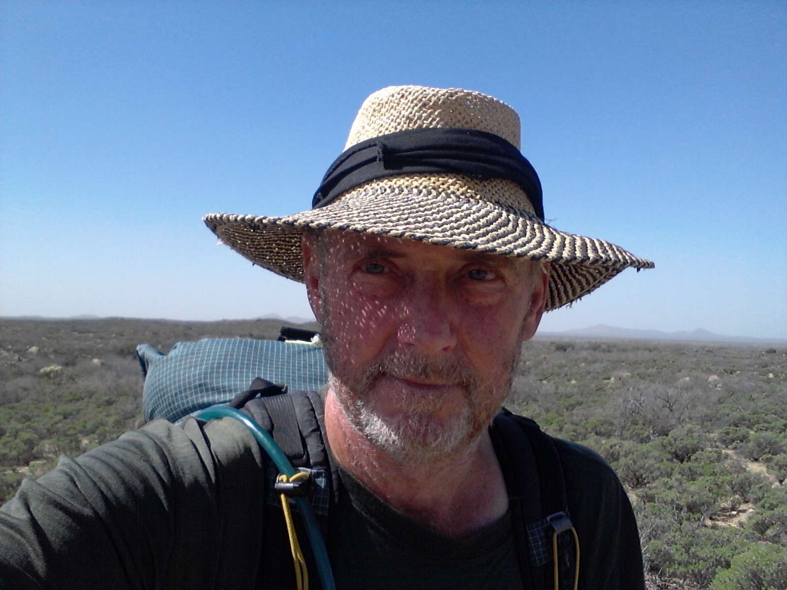
Eastbound

June 6th, 2014

June 3, 2014

When I pulled out of town at 7 am it was already in the 80’s. My van was not running well so I left the A/C off hoping to spare the engine any additional work. I usually don’t mind the heat as long as I can feel a breeze and let my sweat work as a natural evapoative cooler, but 100 degrees got to be a bit much. It wasn’t long, however, before the altitude of the Mogollon Rim gave me some relief.

Once on the Rim it was a straight shot to I40 and then an uneventful drive into New Mexico. I stopped for the night at a Walmart just outside Albuquerque, partly because I didn’t want to tackle the rush-hour traffic, but mostly because I was tired of driving.

It is not a recommended activity to sleep in a vehicle when temperatures are flirting with triple-digit numbers, but I like a challenge. My plan was to hang out in the store until the sun went down and then eat a slow hamburger at McDonalds until the air reached a more tropical degree. I can say that I slept well, but all the windows were open for the better part of the night, inviting any serial killers in the area full access to my home. There was a nice breeze in the night that helped too.

The next day I drove almost to Oklahoma City. I used my A/C part of the time. There was a strong wind blowing from the west, giving me exceptional gas mileage and actually helping the van run better. A good tail wind is the only wind I want with my top heavy rig.

As I drove Interstate 40 I noticed a strange phenomenon with my A/C. When I went up a hill the engine would start to miss and at the same time the climate control would change from blowing out the dash vent to blowing out the floor ducts. For the longest time I thought it was a coincidence but then deduced it was related. The vent uses vacuum to change and hold the selector so I may have a vacuum leak that is causing the engine to run rough when there is a load such as going up a hill.

I parked at another Walmart for the night. I checked out a State park but it was too expensive. It had a nice pool and various hiking trails but all I wanted was a place to park. I didn’t sleep as well the second night and awoke with a headache in the morning. It would be the last night I would have to bare such heat as Missouri finally gave me nice weather.

….to be continued

Room With A View

May 13th, 2014

Last week I drove north into the Coconino National Forest to visit Richard and Dianna where they are volunteering at the Blue Ridge Ranger Station. Dianna has been in Texas helping Dayna start a new business so I won’t get to see her until next week.

It was good to get out of the heat of Mesa but I didn’t expect it to be quite so cold only two hours from the Valley. Once I climbed the Mogollon Rim and gained a few thousand feet in elevation, the temperature dropped from the 90’s into the 70’s. That would have been fine except that twice last week a cold front came through, bringing cold winds, morning and evening temperatures in the 30’s, and even snow on the ground one morning. Even though there have been some cool days, it is nice to get back into the forest. I can only take so much desert.

Richard and I had fun riding our two-wheel toys around the area. The first night we rode ten miles to Long Valley where Richard treated me to an AYCE fish dinner at the local diner. It was really good! I was afraid we would be eating things like canned food and TV dinners while Dianna was away but we put our heads together, shared our food, and made some good meals. And we even cooked and ate vegetables, Dianna!

While Richard was at work and the weather was warm enough, I would hike and explore on my motorcycle. I found some beautiful camping spots on some of the back roads. It would be nice to come back and boondock out in the forest the next time I’m out this way, but the major drawback is that there is no ATT cell service anywhere near here. I have been in lots of areas where I can’t get a signal but it is one of the plusses I look for for extended camping spots.

On one day we hiked a few miles on the Arizona Trail. We found a parking lot on a back road about five miles from the ranger station and placed one vehicle there. Then we hiked back to our home base where I hopped on my bike and retrieved the van. It was a pretty hike through nice forest with good trail.

Richard should write a blog about his work up here. It is really quite interesting to those of us who have little knowledge of how the forest service works. I was surprised at the complexity and work it takes to administer and care for our national forests. I won’t go into detail about the projects he has been involved in in hopes he will tell you himself.

Yesterday I left the ranger station volunteer parking area and drove to the Apache- Sitgreaves NF. I have been parked by R&Ds trailer with an extension cord running to their pole, enjoying my electric heater and water from the tap, but I wanted to check out some camping places east of Payson on the Mogollon Rim. We both drove down to Payson, got our fast-food fix at McDonalds, did some grocery shopping, said “see you in a week”, and drove seperate ways.

There is a road that cuts along the top of the Mogollon Rim – not surprisingly called the Rim Road – with several developed, free campsites. Right now it seems I am camped on top of the world. Only 25 feet from the edge of a thousand foot ledge it is truly a room with a view. I have good cell and the view is amazing but the wind today has been cold so I have been inside a lot. Sometimes it is good to stay inside and write something.

Picket Post

March 19th, 2014

3/16/14 – 301 miles

Tired Hiker

Tired Hiker


I was up early and on the trail by first light, confident that I could reach the end of my section hike and fall back into the real world of beds and greasy food. It wasn’t so much that I was tired of hiking, although I had developed a couple of blisters, but that my body was ready for a rest. It had been six days on the trail with very little water to spare and food supplies running low, and the longest stretch of my hiking career without seeing a soul. I vowed to enjoy the day and not waste the beauty of this section by focusing only on getting done. But when your foot hurts, the pack seems way heavier than it ever did before, you smell somewhat worse than a billy goat, and you are partially dehydrated from not drinking enough liquid, it’s hard not to think only of the end.

The section above the Gila River really was beautiful. The trail winds up into high canyon cliffs with views for miles in several directions. There were awesome formations of jutting rocks and buttes that gave the area an almost other-worldly appearance. The canyon is so remote and isolated that few people ever get to see it. It was quite a taxing climb up and out of the section, and I have to admit I was a little discouraged that what appeared to be the top only wound around more formations and dropped me down through another ravine and back up again, but the sights made it bearable. I finally was able to get a cell signal and give Richard the heads up that I would arrive at the end that afternoon. From that point on I was down behind mountains and would not have another chance to update my eta.

It was a lot easier walking when I entered the last section and I made good time to a place called Trough Springs. I was really thirsty by that time and needed water badly. Trough Springs is a place I have been to before. When Daryl, Donna, and I did a short backpack trip a few years ago we chose a route that let us camp near the spring on the night of our trip. When we camped there a few years ago the spring was full with good water, but when I arrived this time the trough had about one inch of disgusting slime in the bottom. This was bad news. I had another 8 miles to hike and I was not looking forward to going that distance without water.

After some investigation I found a 24 inch round pipe sticking out of the ground above the cattle trough and went to check it out. When I removed the cover and peered down into the well I could see water about 8 feet down. At first I thought there was no way I would ever be able to get to the water, but with a little ingenuity I fashioned a bottle tied to a long stick and was able to dip water from the well. I left the stick and twine I used to tie on the bottle in hopes that the next hiker would be able to “fish” the same way I did.

When I arrived ad Picket Post Trailhead, I finally got a text to go through to Richard and Dianna and they were there shortly to pick me up. Someone had left several gallons of water beside the trail and I used some for washing up a bit. I know it was for drinking but every thruhiker will go into town when they get there and not be as affected by their water supply.

Most of the AZT was marked well and easy to follow. There were a couple of places where the markers were missing and the trail somewhat unclear where it went, but most of the way was easy to follow. I will probably send out a note to the Trail Conference telling them where I was confused and on one instance lost for a few miles. I used only the guide book for navigation and I would suggest getting the route on GPS along with detailed maps showing all distances and water sources. Each item you use for navigation and information cost more money – which I was reluctant to spend – but probably would be worth it in the long run. I’m glad I took a water filter because a lot of the water sources are stagnate ponds. Even though you can make water safe to drink with chemicals it is nice to run it through a filter to remove all the gunk floating around in it.

It was a good hike:
– On the AT I never had to worry much about water.
– On the AZT I never had to worry much about rain.

– On the AT the trail was almost always in the shade.
– On the AZT I could almost always get a good charge on my solar panel.

– On the AT someone was always around in case you were hurt or sick or just wanted company.
– On the AZT you could be alone and enjoy the solitude of being one with nature.

– On the AT it is easier to hitch into town from the trail.
– On the AZT I had two wonderful trail angels following me all the way.

Godzilla!

March 16th, 2014

3/15/14 – 284 miles.

Gila Monster

Gila Monster


In some sections of the trail industrious builders have created giant, stone cairns to mark the path. Some of them were waist high and one was almost to my shoulders. Every time I would pass one a little lizard would run to the top of the cairn, taking up a post like a guard in the watchtower, then diving to the safety of the rocks as I came close. I have seen hundreds of these little guys, but I was not expecting to see the big guy I came across this morning.

I spent most of the day walking beside the Gila River. The trail would climb up to the high ridge above the valley and give splended views, then descend into the flat land of mesquite forests with camping available everywhere. It was on one of the ridges when I rounded a switchback and came face to face with a Gila Monster. He was not friendly at all. He would open his mouth and hiss at me, as if to say: Get off my trail! I got off the trail and went around.

So I can add one more critter to my list. He did let me take a couple of pictures from a distance. I guess it is only logical to see a Gila Monster beside the Gila River. My book says there are mountain lions and bighorn sheep in this area. I would love to see a bighorn.

The trail left the river and wound up through a canyon. I stopped after a few miles of climbing and made camp in a wash. I should make it to Picket Post tomorrow. I hope I can get a signal and secure a ride.

Snakes and Scorpions

March 14th, 2014

3/14/14 – 267 miles.
I never did find the water tank that was mentioned in my guide. It was only 90 feet off the trail so it seems funny that I missed it. All the AZT signs say not to rely on cow tanks – they are the property of the ranchers and you are supposed to get permission to even use them.

I started out early while it was cool and rationed what remaining water I had left. The flat desert soon changed to canyons and tall hills. It was a lot prettier to walk through but the climbs made me more thirsty. I arrived at Florence – Kelvin Highway -where there is a water cashe – about noon and drank a half-gallon of water before filling up my bottles and moving on.

This next stretch follows the Gila River for 16 miles so I will have water for a while. The trouble with the Gila is that it is muddy. I filled my bottles and will let them sit overnight to see if any of the mud will settle before running it through my filter.

I have seen 4 snakes, countless deer, 1 wild pig, jackrabbits, 1 mountain lion, 1 scorpion, 1 turtle, and hundreds of cows. None of the snakes were venomous, I squished the scorpion, and everything else ran away.

The cows that are pastured in the desert sometimes make a mess of the trail. They are forever making their own path and breaking down the edges of the trail. And they cut switchbacks all the time. They think the shortest distance is the best route.